Hey,
So Guthook has a beautiful guide to the IAT NB that will launch in a short while; and I got to test out the beta version for the part I finished this year, which was absolutely lovely. Definitely check them out. It sits on your phone, works without connectivity, and you can see maps of all around and tell exactly where you are at any given point.
As a hiker with limited resources, I figured a free guide was also good, and it’s been in my head since I was struggling with logistics last year, so I wrote one up for y’all this past evening. The format might be strange, and you’ll also have to do more research if you want mail drops, or to investigate resources in the towns more… But it’ll possibly get you through.
No guarantees, though. Here is a pdf version: NB IAT guide
If you’d like the word document, so you can edit more easily, or if anyone wants to touch this up so it’s more accurate, feel free to contact me and I’ll send it to you. A couple of the towns are formatted wrong in this version, but it hurts to fix it on my phone.

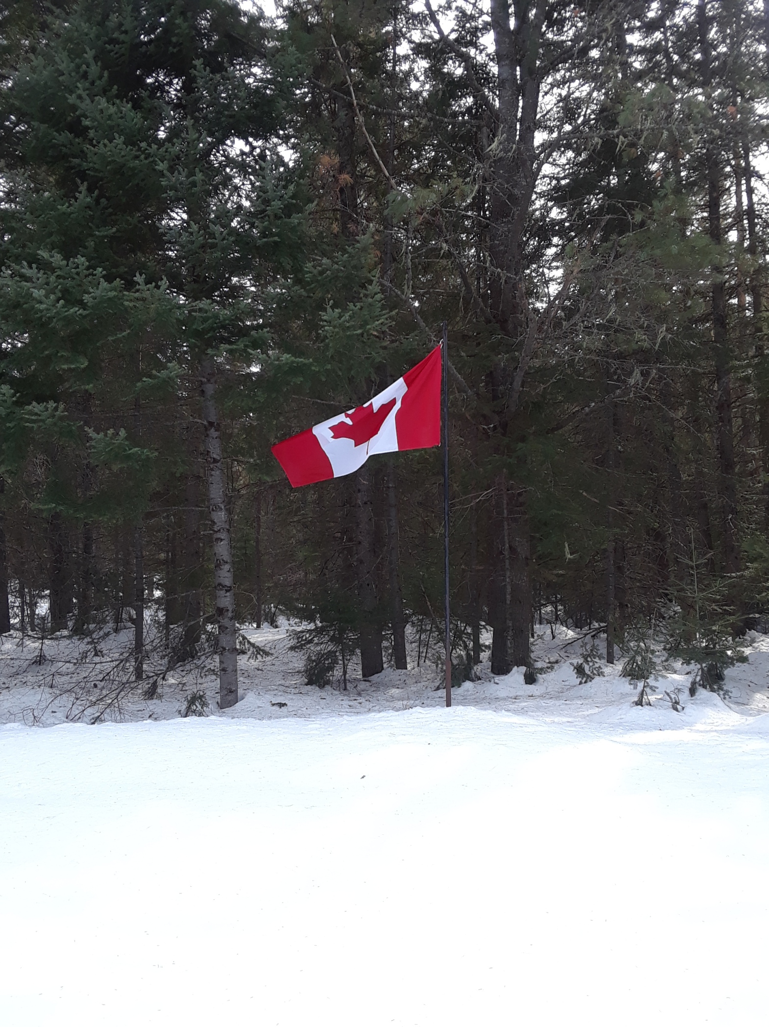
New Brunswick has also recently added a southern portion to their section of the IAT, which runs south from the Maine border crossing, to the coast. It is new, nobody has done it. It exists.
Hurrah for the Canadians! More later. Maybe. Muahahaha,
Happy trails, y’all.
Sail

Yeah Google Maps can be problematic when it comes to trails. Here in Germany it often indicates trails where there are none in reality.
Did you try Open Street Map (OSM)? They often have better trail maps. There are plenty of free OSM apps with offline maps functionality (OruxMaps for example).
Btw: you maybe already know this… Google Maps has an offline mode too, which lets you preload the maps when wifi is available.
LikeLiked by 1 person